


")

 |
Stage 2019/15 [A077] | ||
|
Fielding Lake - Paxson - Tangle Lake (Richardson Highway, Denali Highway) |
|||
| 36 mi / 58 km | |||
| 640 Hm (garmin edge 1000) | |||
Cycling Whitehorse, Yukon to Anchorage, Alaska via Dawson City.Stage from Fiekding Lake to Tangle River following the Denali Highway.One of the most epic cycling routes of the world. |
 The night at Fielding Lake was quite cold and extremly windy. So we were all the happier about the fact that we had spend the night in a hut. And since today's stage is a bit shorter, we can allow ourselves to have breakfast in peace and leave a little later than we did last few days. The first kilometers of the day lead from Fielding Lake on the unpaved Fielding Lake Road about 1.5 mi / 2.5 km back to the Richardson Highway. |
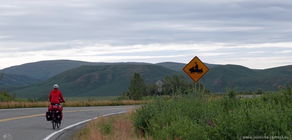 The weather doesn't get any better on the Richardson Highway either, overcast skies and 9° C / 48° F are not much, but the road signs remind us that the weather can be totally different here. |
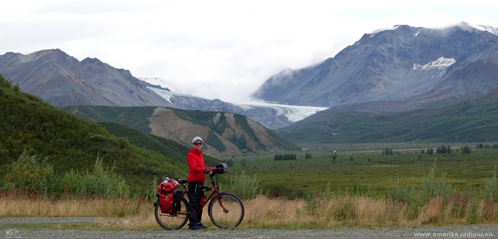 From Richardson Highway we have a good view of the Gulkana Glacier. The glacier begins at an altitude of about 200m / 6500ft and, along with Wolverine Glacier and South Cascade Glacier, is one of three glaciers that are regularly surveyed by the United States Geological Survey as part of a long-term project. Since 1966, when the data began to be collected, the ice thickness has decreased by about 0.4m per year. As the glacier moves more and more slowly due to the lower weight load, it becomes shorter and retreats further and further into the mountains. Somehow I instinctively think of climate change and our dealings with nature on this topic. |
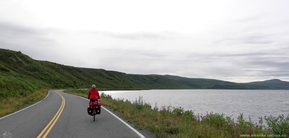 A little later we pass Summit Lake, as the name suggests, this is the highest point of Richardson Highway. Right here at this lake and the mountains on the edge of the highway, an event called "Arctic Man" takes place every year. Basically, it's about the following: Several teams compete in a race, with each team consisting of a skier and a snowmobiler. The skier starts on top of Mountain A at an altitude of 1800m / 5800ft and descends approximately 520 meters (1799ft) down the slope for a length of less than one mile / 1.5km. At the bottom, in a narrow gorge, he meets his partner with the snowmobile, who pulls him up along the slope of mountain B as fast as possible on a rope. Since the race is all about speed, the meeting goes without stopping, the skier grabs the rope on the go. The snowmobile driver races the skier up the neighboring mountain at a speed of up to 138 km/h / 86 mph. After about 3.6km / 2.25mi, the two of them have reached the ridge and the skier lets go of the rope (if he has not already done so accidently). Now the skier descends the second slope, about 370 meters in altitude / 1200ft to the finish line. If I got that right, the race exists since 1986, the motto of the race is: go fast or go home. |
 Vom Summit Lake aus geht es auf dem Richardson Highway etwa 150m bergab. |
 In Paxson (40 inhabitants) we turn right onto the Denali Highway. At the crossroads we are at the lowest point of today's stage, the thermometer rises to a whopping 16° C / 61° F. In summer the temperature rises to an average of 25° C / 70° F, in winter it is -40° C, the only temperature that I can convert from degrees Celsius to degrees Fahrenheit, since -40° C is exactly -40° F. |
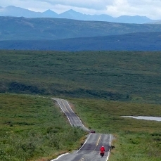
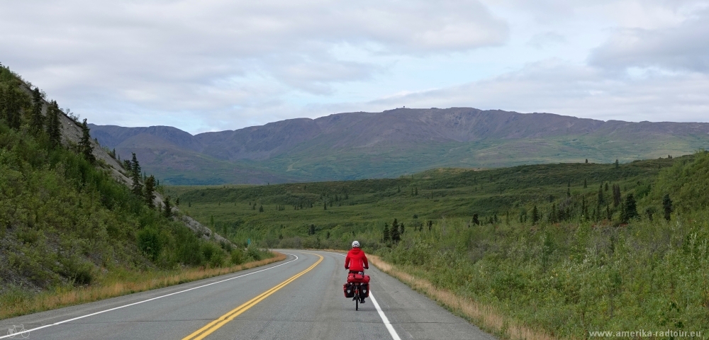
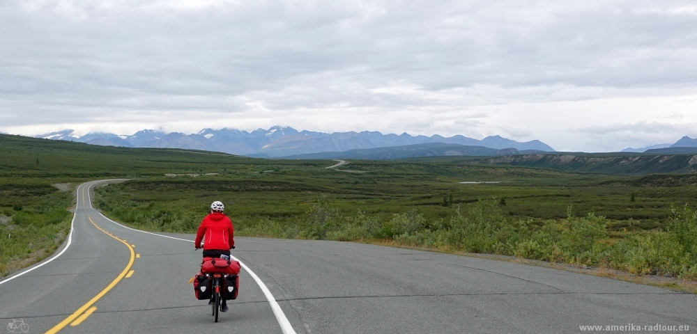
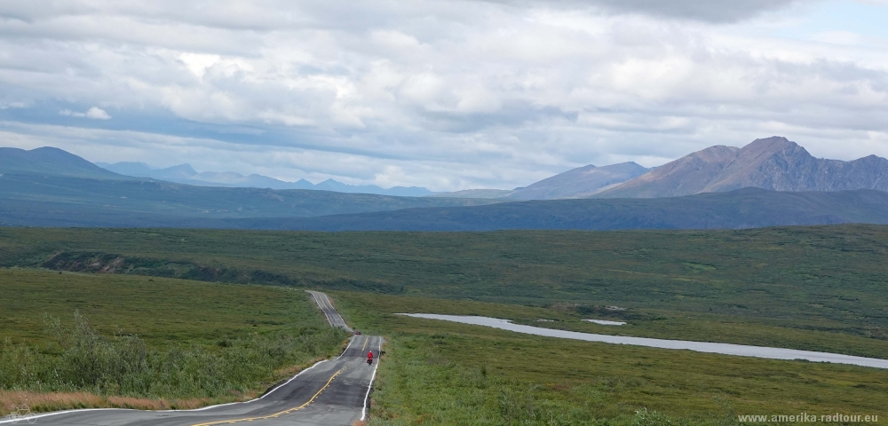 In the last days we have overcome the mountains of the Alaka chain, now we are cycling westbound parallel to the mountain range. After a short ascent of about 150m, the Denali Highway runs quite flat through the landscape. Since many rental car companies prohibit their vehicles from driving on the highway, traffic is low. |
 Also the Denali Highway offers good views of the surrounding mountains. |
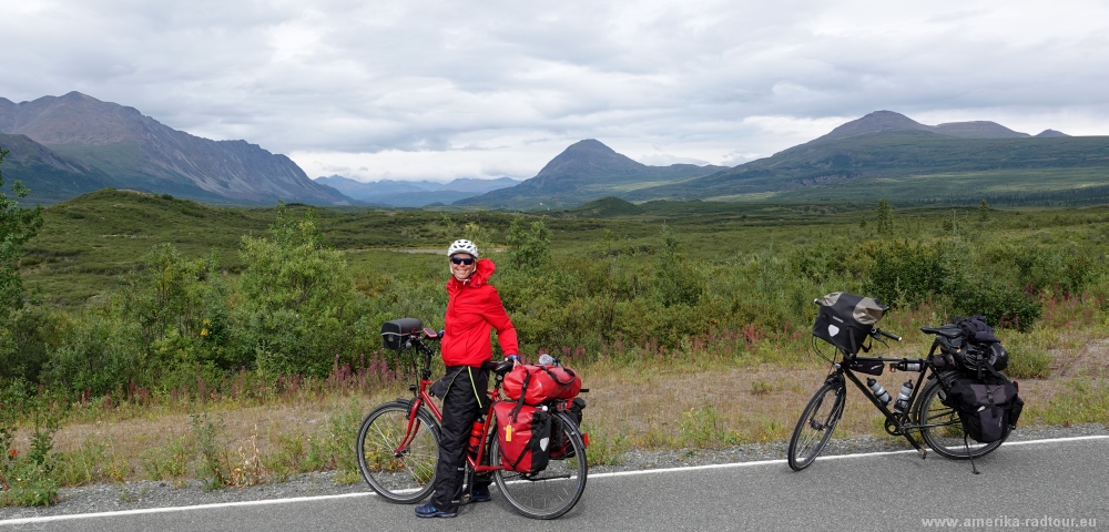
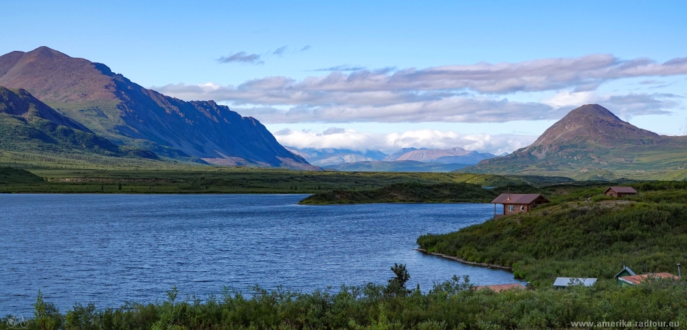 We spend the night at Tangle Lake. In the evening the clouds suddenly tear open and the weather is at its best. However, the low sun does not warm us properly, it gets cold quickly. |