


")

 |
Stage 2019/07 [A069] | ||
|
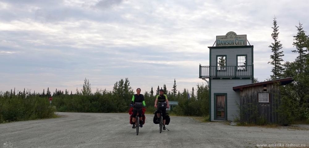
Dawson City - Rest Area km88 (Top of the World Highway Highway) |
|||
| 55 mi / 88 km | |||
| 1800 Hm (garmin edge 1000) | |||
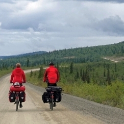
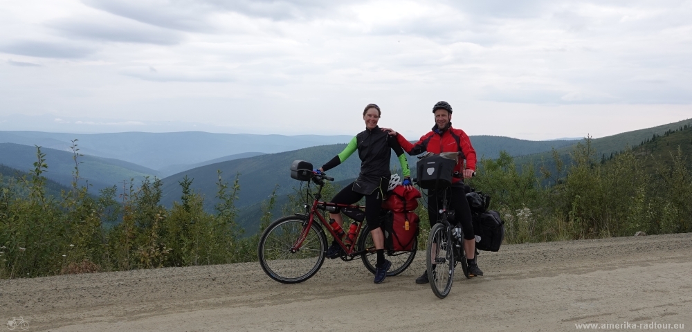
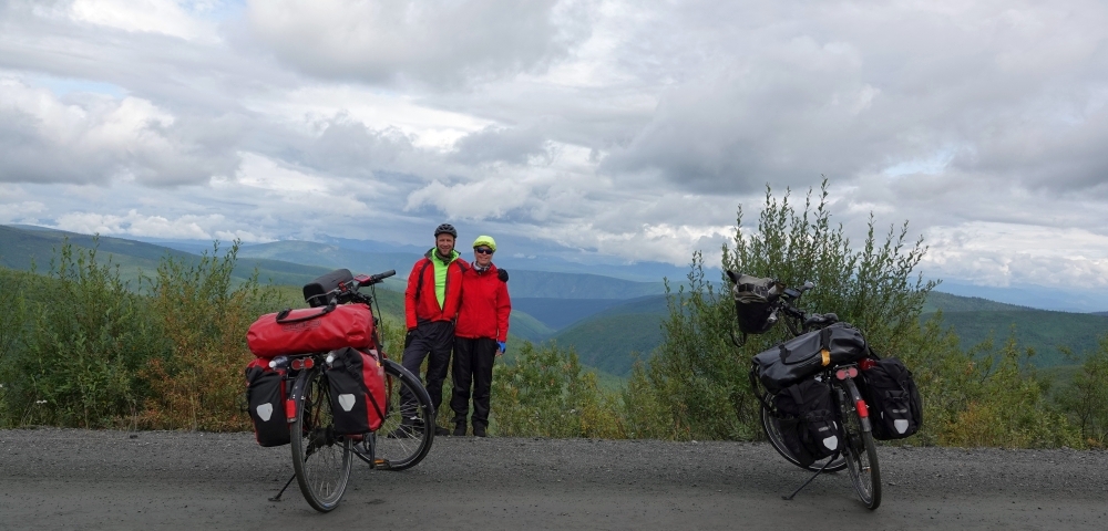
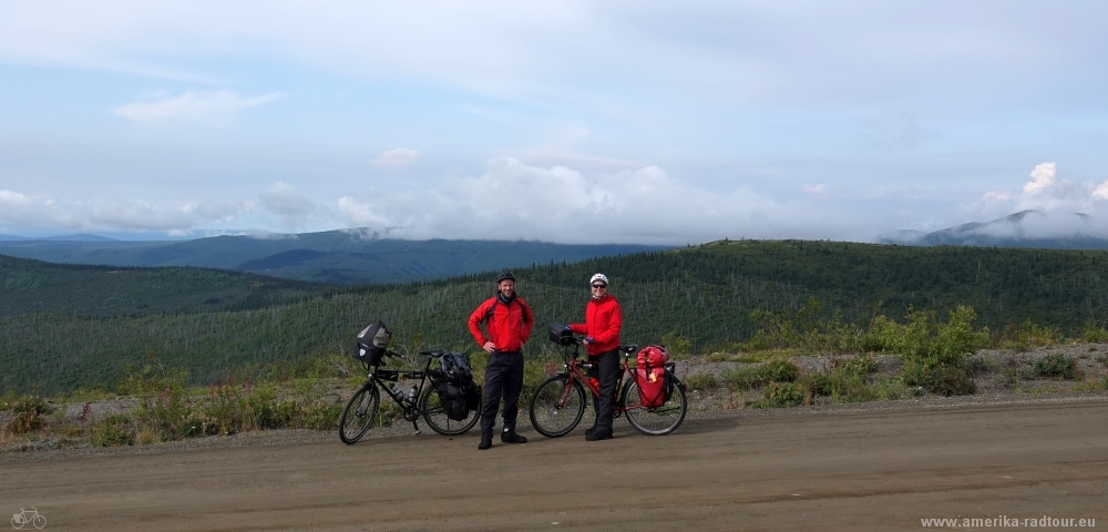
Cycling Whitehorse, Yukon to Anchorage, Alaska via Dawson City.Stage from Dawson City to Chicken following the Top Of The World Highway part 1/2.One of the most epic cycling routes of the world. |
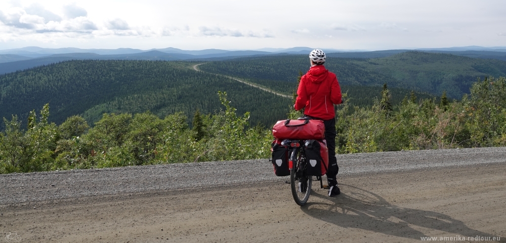
 We leave Dawson City to cycle the Top of the World Highway westbound to Alaska. First we have to cross the Yukon River with the George Black Ferry. The ferry service is free of charge as it is considered an extension of the highway and runs around the clock every day in the summer months. With a bicycle there is no waiting time, so we get on board of the next departure. The adventure starts right here. |
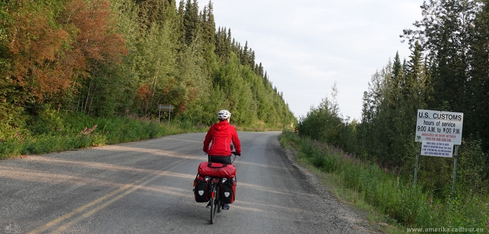 On the western shore of the Yukon River there is another sign post stating that the bprder post Poker Creek at Little Gold has limited opening hours. Outside of these opening hours there is basically no traffic on the road. Hence we ride almost alone on the highway. Behind the sign it goes uphill: Dawson City is located at an altitude of about 350m, the highway leads throu terrain mainly above 1000m. On the next 9mi / 15km there are 2300ft / 700m elevation gain in front of us. The good news is: the climb is done on asphalt. The bad news: The rest of the track is not paved. |
 On the next 9mi / 15km there are 2300ft / 700m elevation gain in front of us. The good news is: the climb is done on asphalt. The bad news: The rest of the track is not paved. |
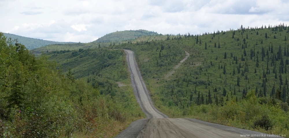
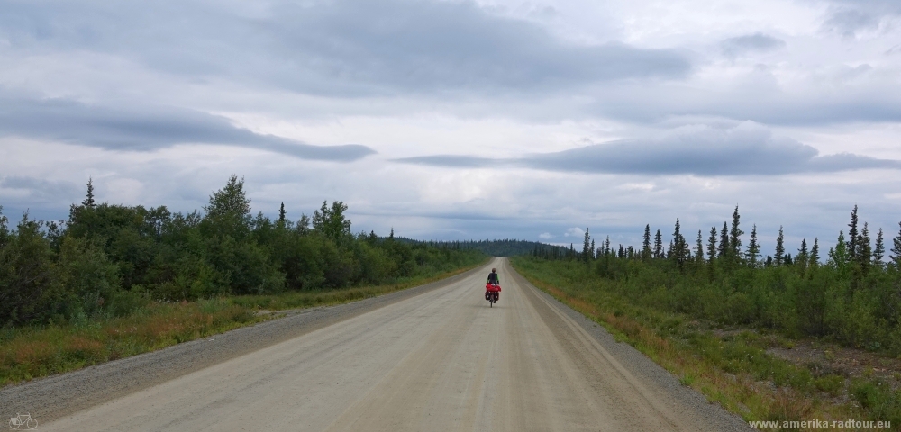 The Top of the World Highway is neither a highway nor is it top of the world. The of the track is not paved, but it is in good condition as of 2019. In the past, when the Clinton Creek asbestos mine was still in operation, part of the highway was accessible even in winter. Today the route is only open in summer. |
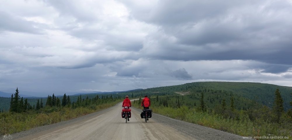
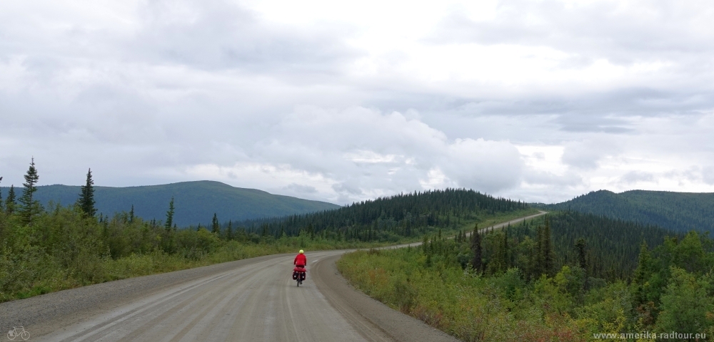
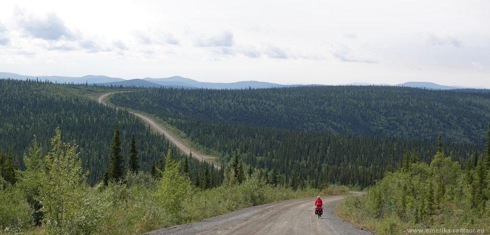
 The view from the Top of the World Highway is fantastic: endless valleys are lined up and form a huge, endless landscape to the northern end of the continent. |
 The Top of the World Highway had its inner sense in strategic considerations, as is so often the case in this world. The route of the highway is what you get if you leave the planning to the army: a military road far away from the coastline. |
 The highway was originally built to connect the mines west of Dawson City with the rest of Yukon and was extended to the Alaska border in 1955. So the official version. |
 In fact, as early as 1920, when the prohibition began in the United States, there was a lively exchange of goods between the Yukon, where alcohol was legally available, and Alaska, where there was a not inconsiderable demand for alcohol among the hard-working and well-earning staff of the mining companies . An imbalance that the free market has always known to compensate for. In any weather. |
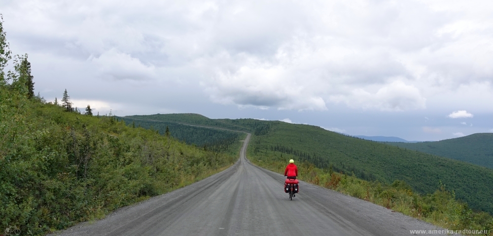 Due to the location on the back of the mountain range, the Top of the World Highway is exposed to very strong winds. It is all the more gratifying that the weather means well with us today and that it stays dry. This road in heavy rain is no fun. |
 Top of the World Highway. One of the most epic cycling routs of the world. |
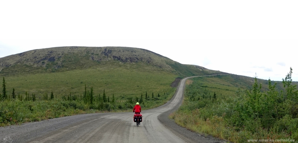 |
 Endless vastness. |
 The fascination of the Top of the World Highway arises from the combination of the vastness of the landscape with the loneliness in the vastness. I cannot imagine that the beauty of this part of North America can be experienced in a car as intensely as on a bicycle. Especially in the afternoon, when the last car of the day has already passed and we cycle completely lonely through nature. |
 If you ride the Top of the World Highway by bicycle, you must take care to have enough proviant with you. It is also important to bring drinking water with you, because there is no water at all available. Even the rare puddles of water on the roadside are best avoided, since most of them are contaminated by heavy metals like lead due to the mining activities. |
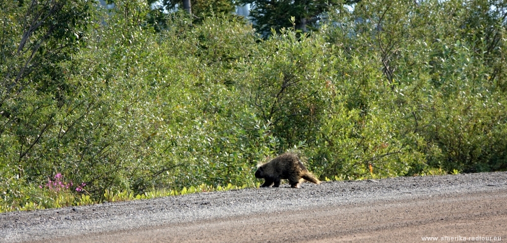 In the early evening an porcupine crosses the highway. The animal makes a very relaxed impression on us. Somehow reassuring: If the porcupine can cross the street in such a chilled maner, let's assume that there are no large mammals around, Especially no bears, whatever color. |
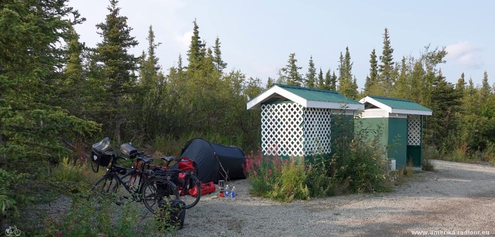 At km 88 we set up our tent behind the two loo houses. The place seems strategically well located to us: no signs of bear for the last miles, the roof of the toilet house facing away from the tent is very suitable as a storage space for the panniers and the trees offer a windbreak. The wind is not to be underestimated, it is windy and cold up here. We make it into the sleeping bag before dark, which is not too difficult, because it doesn't get dark at all here in summer times. It gets dark only from wintertime, but then nearly all day. |